Location & borders
Nigeria lies in West Africa. Its southern coast faces the Gulf of Guinea, part of the Atlantic Ocean.
Four countries share its land borders: Benin to the west, Niger to the north, Chad to the northeast, and Cameroon to the east.
Nigeria’s northern border connects to the Sahel and Lake Chad; its southern coast opens onto the Atlantic. The two settings supported different historical trade networks. Colonial institutions later governed regions in different ways. Trade, institutions and historical decisions shaped political relationships across these regions.
National Geographic · Natural Earth · Library of Congress, Federal Research Division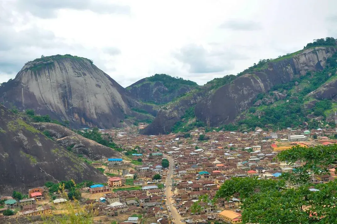
Plains & highlands
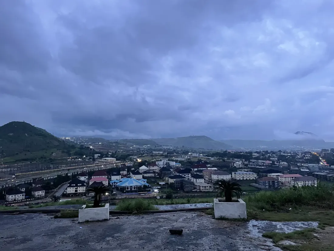
Low coastal plains give way to inland hills and plateaus. The Jos Plateau rises in central Nigeria; Shere Hills show its rocky landscape.
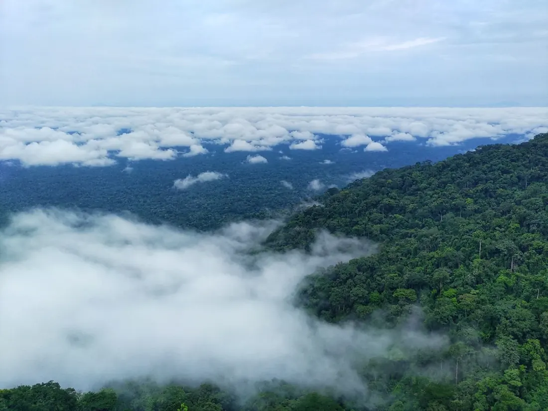
The Cameroonian Highlands extend along the eastern border. Nigeria's eastern landscapes include steep slopes and forested mountains.
Terrain affects routes between communities and the cost of transport and public services. The Jos Plateau and eastern highlands are distinct landscapes within the federation. Disputes over representation, land and belonging require social and institutional evidence as well as a physical map.
National Geographic · Encyclopedia of the Nations · Library of Congress, Federal Research Division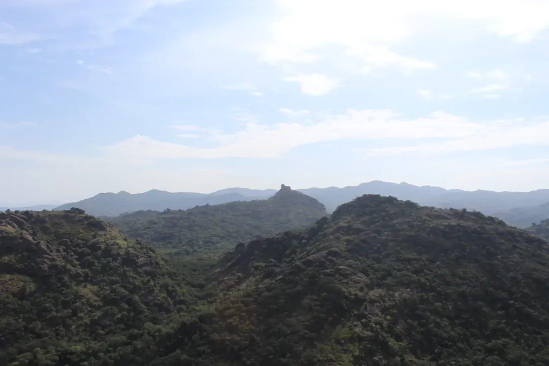
Niger & Benue
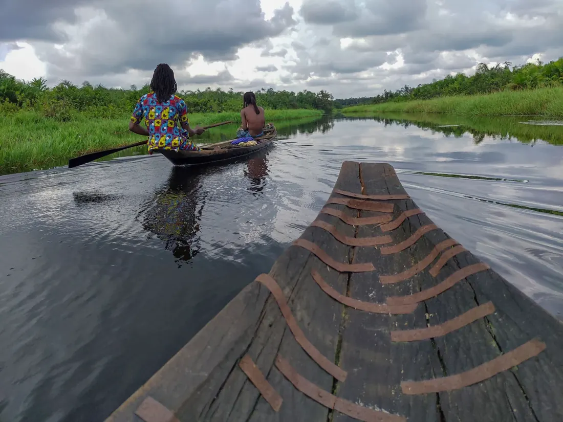
The Niger and Benue are Nigeria's major rivers. They meet at Lokoja, forming a major river confluence.
The Niger continues south into the Niger Delta, a network of waterways and wetlands opening onto the Gulf of Guinea.
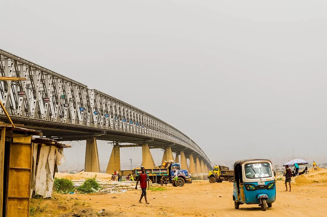
The Niger and Benue meet at Lokoja. Transport, settlement and trade follow these rivers; colonial administration also used the confluence as a strategic location. Shared waterways connect regions, while bridges and infrastructure affect who can reach markets and services.
National Geographic · NIPC · Natural Earth · Hadassah Photostorie group · Library of Congress, Federal Research Division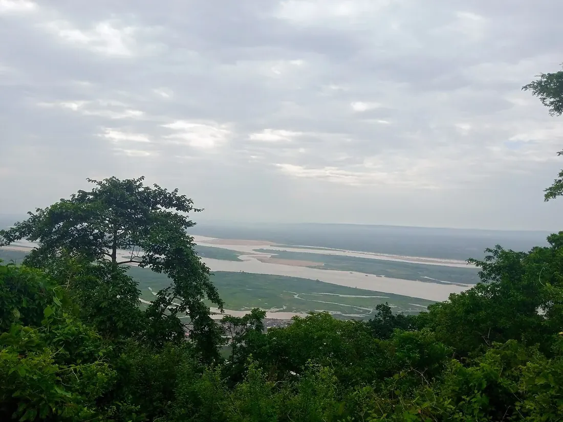
Climate & landscapes
Nigeria becomes generally wetter toward the Atlantic coast. The northern fringe includes the Sahel, a semi-arid transition zone south of the Sahara.
Savanna grasslands and scattered trees cover much of the interior. Farther south, higher rainfall supports tropical rainforest.
The wetter south and drier north support different patterns of farming and pastoral activity. Environmental pressure can interact with land use, migration and security. Understanding a dispute also requires evidence about property rules, representation, policing and historical grievances.
UNICEF · Library of Congress, Federal Research Division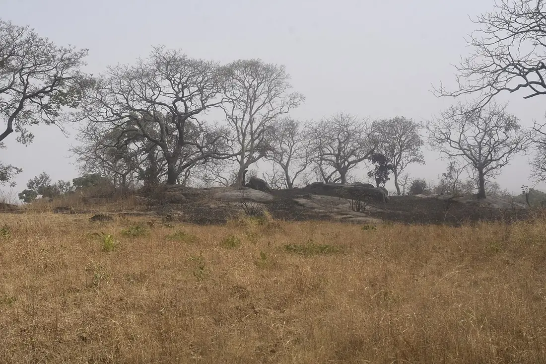
Coast & connections
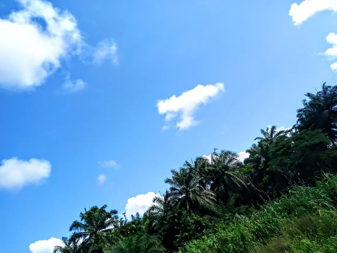
Nigeria has about 853 kilometers of coastline on the Gulf of Guinea, part of the Atlantic Ocean. Lagos lies near the southwestern coast; Abuja, the capital, is inland.
The coast includes sandy shores and mangrove waterways. These photographs show Lekki Beach and the Epe mangroves, both in Lagos State.
Petroleum resources in the delta connect local environments to national revenue and global markets. UNEP’s 2011 Ogoniland assessment documented pollution in a specific area. Debates about cleanup, revenue sharing and local voice show how geographic concentration can become a political issue.
National Geographic · UNICEF · UNEP · Library of Congress, Federal Research Division